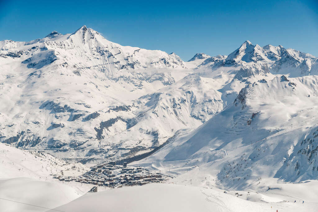
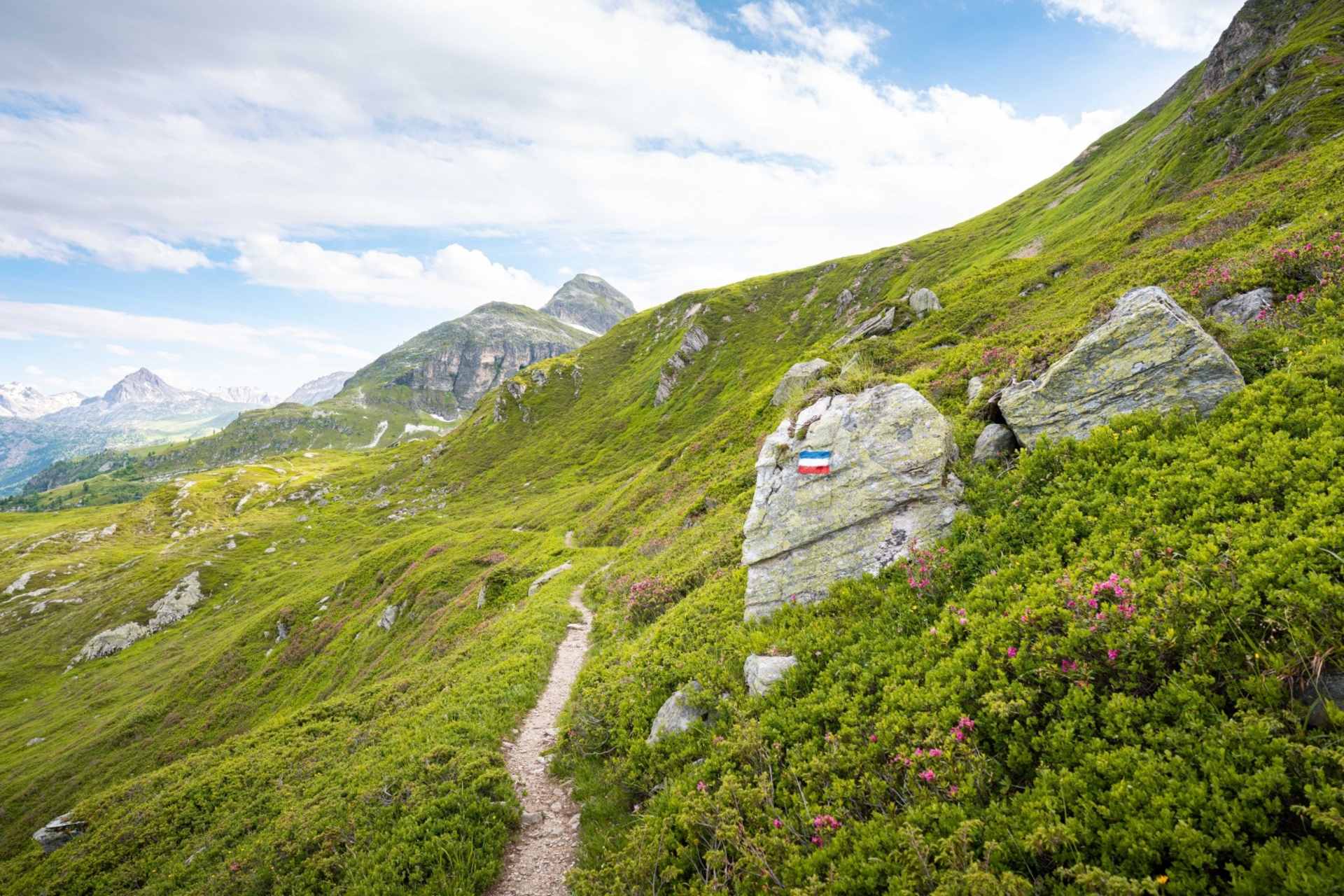
Hiking routes and circuits
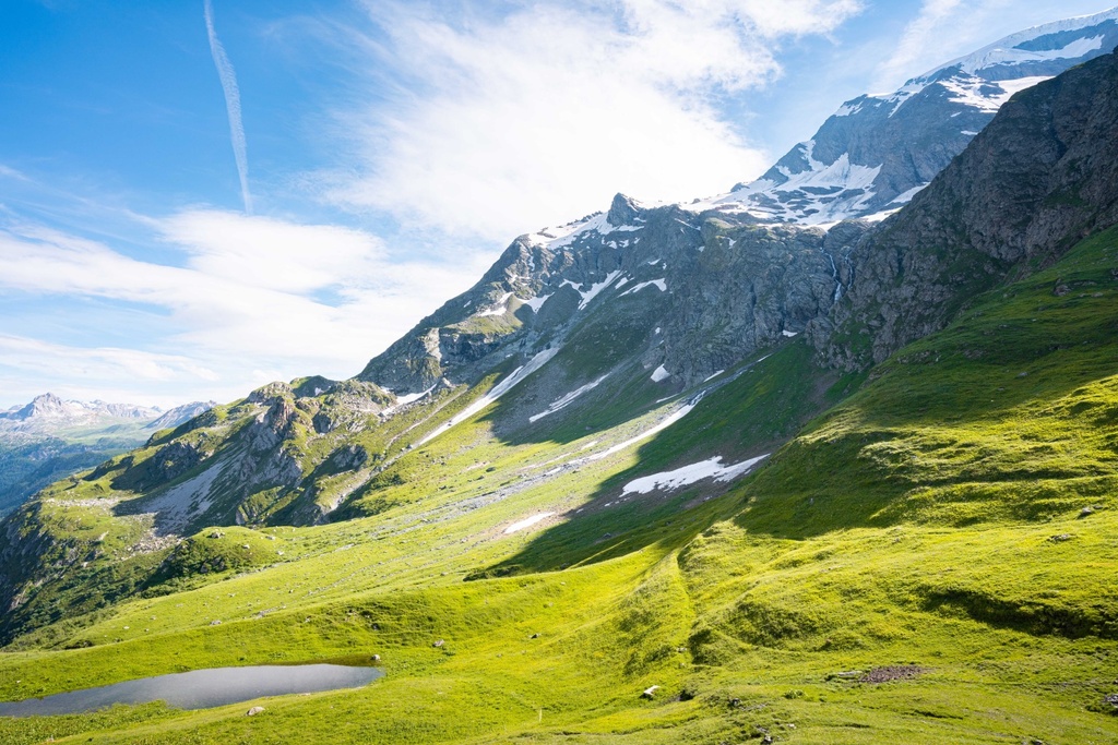
The geography and geology of Tignes are particularly suited to high mountain hiking. Discover the most beautiful hiking routes in and around Tignes.
Tignes hiking map
Discover the most beautiful walks and hikes around Tignes
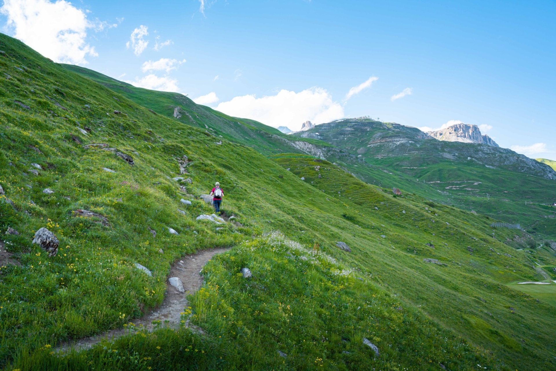
Easy routes
Although Tignes is located at a high altitude and has sometimes steep terrain with steep ascents and descents, there are many walks and hikes that are accessible to beginners or those simply looking for an easy outing.
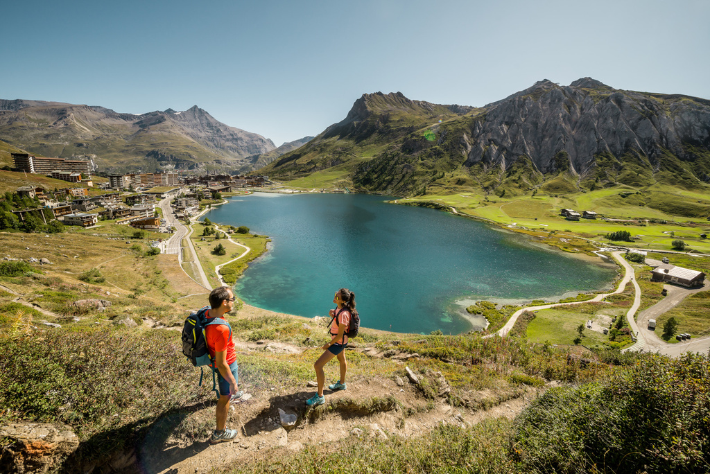
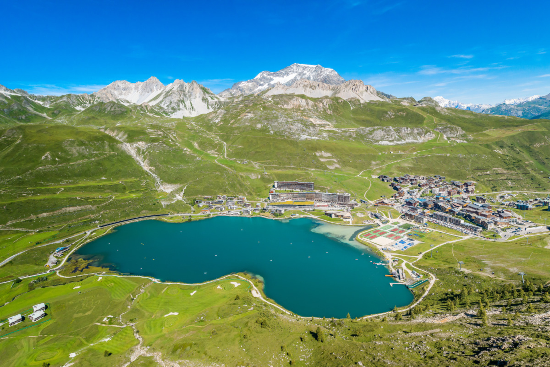
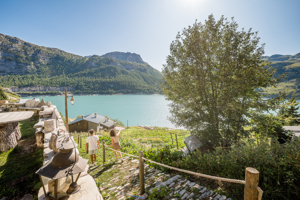
Tour of Tignes lake
A walk around Lac de Tignes is a very easy and essential part of any stay in Tignes. There are plenty of activities on offer for children and parents alike, and several barbecues are available around the lake.
Tip
In summer, take advantage of one of the Soirées Barges (Mondays and Thursdays, from 17:00 to 19:00) to take a musical tour of the lake.
Practical info
- Difficulty: very easy
- Route: loop
- Distance: 2,7km
- Approximate duration: 45 minutes
- Elevation gain: 23m D+ / 23m D-
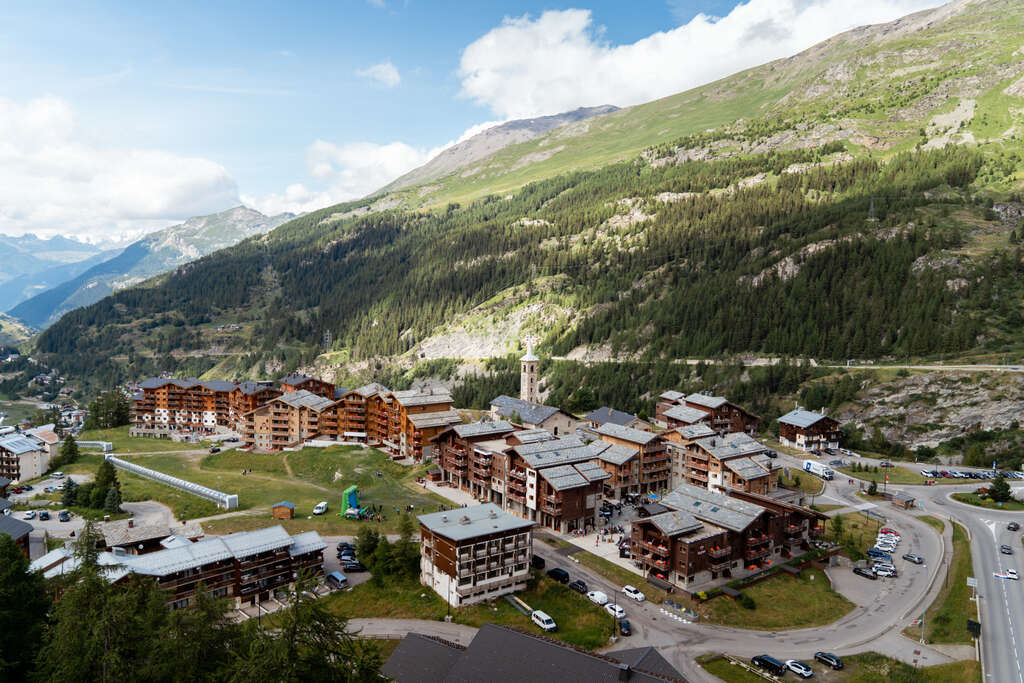
The “sentier balcon”
From Tignes le Lac, you can take the balcony path to Tignes 1800. A magnificent walk along the balcony path linking Tignes le Lac to Tignes 1800, with 4.5 km of path dug out by pickaxes for the enjoyment of young and old alike.
Please note
- Once you’re in Tignes 1800 (or Tignes le Lac), you can use the free shuttle service between the two villages if you don’t want to make the round trip. Find out about the timetables on this page or in the Maisons de Tignes.
- Don’t venture out on the mountain bike pistes, stay on the footpaths.
Practical info
- Difficulty: fairly easy
- Route: one way or round trip
- Distance: 5,1km (one way)
- Approximate duration: 1h45 from Tignes le Lac // 2h15 from Tignes 1800 // 4h00 for the return trip
- Elevation gain: 74m D+ / 368m D- (from Tignes le Lac)
Head for Val d’Isère, via the Vallée Perdue
Pay a visit to our neighbours in Val d’Isère by following the picturesque and not-to-be-missed itinerary of our domain. You’ll enjoy exceptional views over Lac du Chevril, cross footbridges and walk along spectacular gorges.
Please note
Once you’ve arrived, shuttles are available from the Val d’Isère bus station to make your return easier, but you can also choose to return by the same route to double this unique experience.
Practical info
- Difficulty: fairly easy
- Route: one way or round trip
- Distance: 6,5km (one way)
- Approximate duration: 2h25 (from Tignes le Lac)
- Elevation gain: 187m D+ / 483m D- (from Tignes le Lac)
The Col de Fresse (2,576m) via the ridges
Accessing the National Park, the Col de Fresse offers a lovely viewpoint and access to the Val d’Isère 4X4 zone.
Please note
- On this hike, you will need to take into account the regulations governing the Vanoise National Park
- From the Fresse chairlift, there is an alternative route via the Paquis valley. The very pretty vallon du Paquis can be a walk in itself. If you choose this option, you should prefer this variant on the outward journey: the path at the bottom of the valley that joins the main itinerary is fairly steep, and is best done uphill.
Route description
- Start: From Val Claret, walk past the funicular station, then the Bollin chairlift.
- Continue eastwards towards the Col de la Leisse on the GR55, which climbs steadily up the mountainside. Note the water cascading down from the foot of the Petite Balme rocks in the Paquis valley, evidence of an underground hydrological system.
- The route for the Col de Fresse and Col de la Leisse forks at the signposted boundary of the Vanoise National Park. The ascent to the Col de Fresse takes 15 minutes.
- The return journey takes the same route.
Practical info
- Difficulty: not very difficult
- Route: one way with no return
- Distance: 5,8km
- Approximate duration: 2h00
- Elevation gain: 41m D+ / 620m D- (from Tignes le Lac)
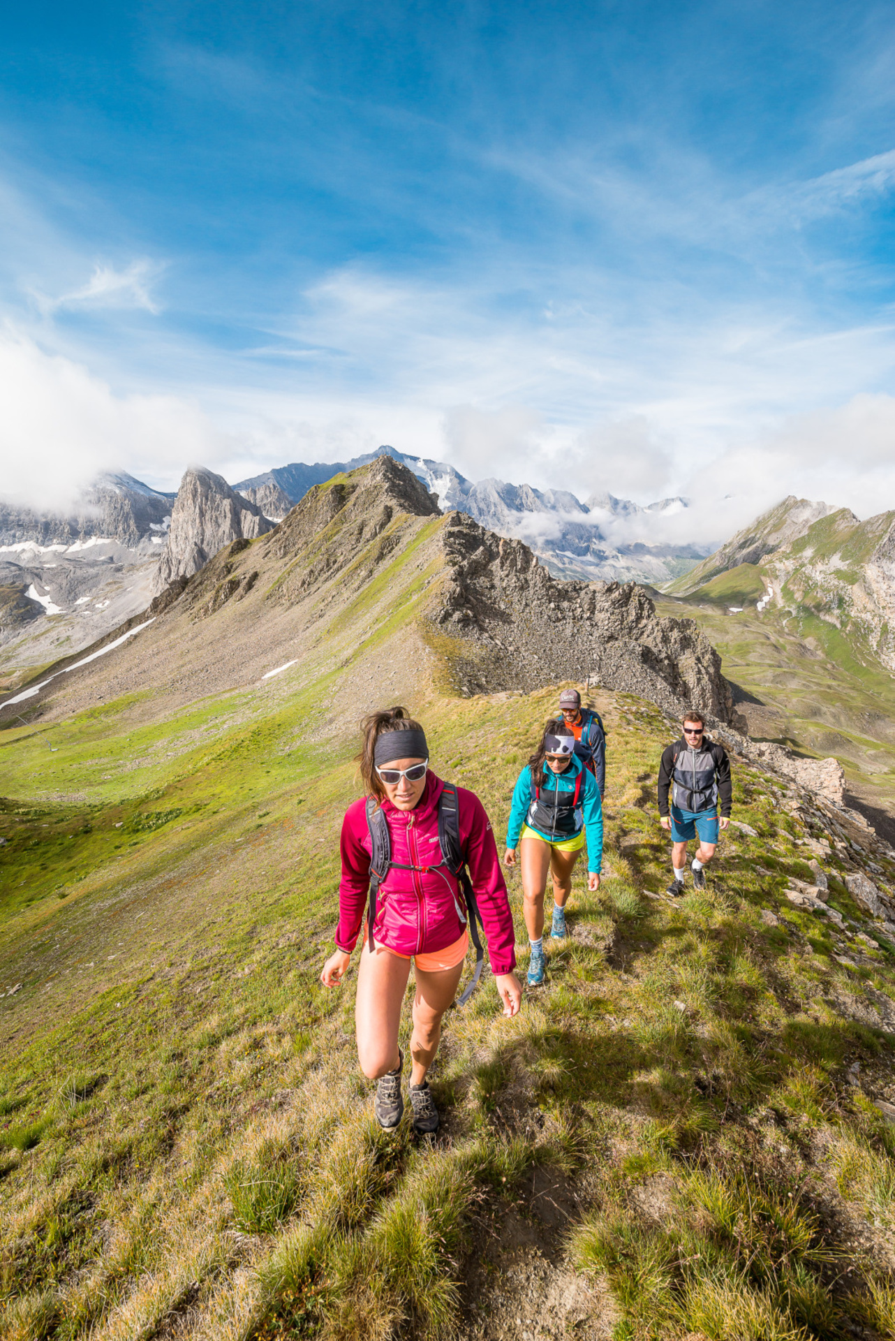
A few more hikes
Our selection of walks
Leave your IGN map to one side for the moment and set off to discover the little treasures of the Tignes area, accessible to all!
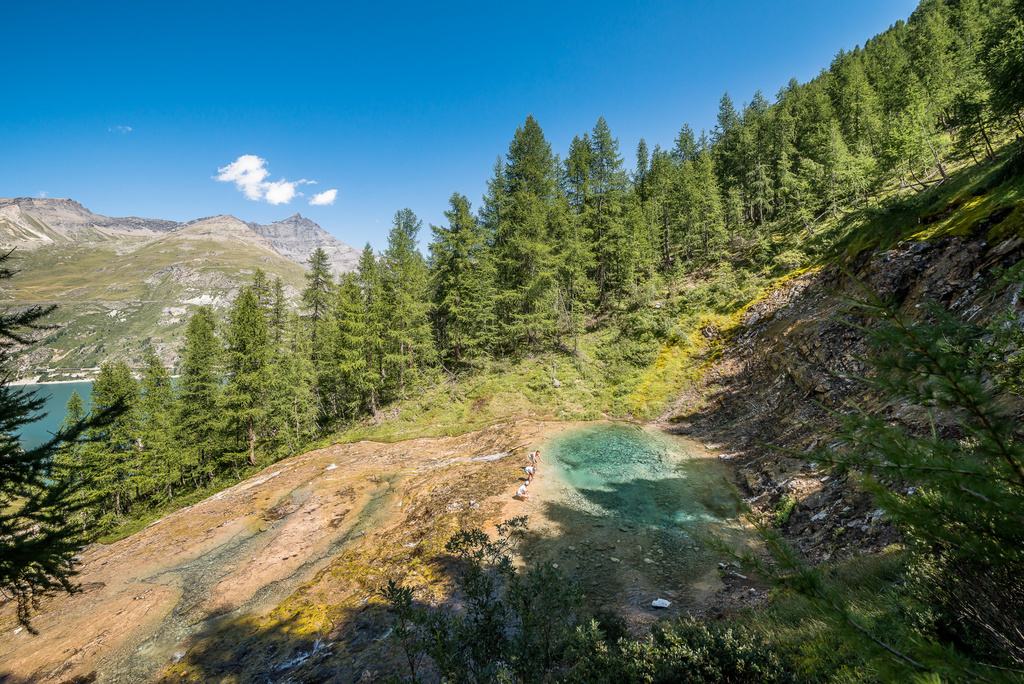
Our favorite freshness spot!
For an easy family walk, follow the botanical path from Le Lavachet, and reach the Gouille du Salin (Caribbean colored ice water resurgence… directly from the glacier!), then go down to the “voile de la mariée” waterfall.
Travel in time…
Lovers of old stones will enjoy discovering the authentic chalets of the villages on the eastern shore of the lake of Chevril and Isère:
- Villaret du Nial
- Franchet
- Villaret des Brévières
- Or the ruins of the chalets of the Saut in the Grande Sassière Nature Reserve
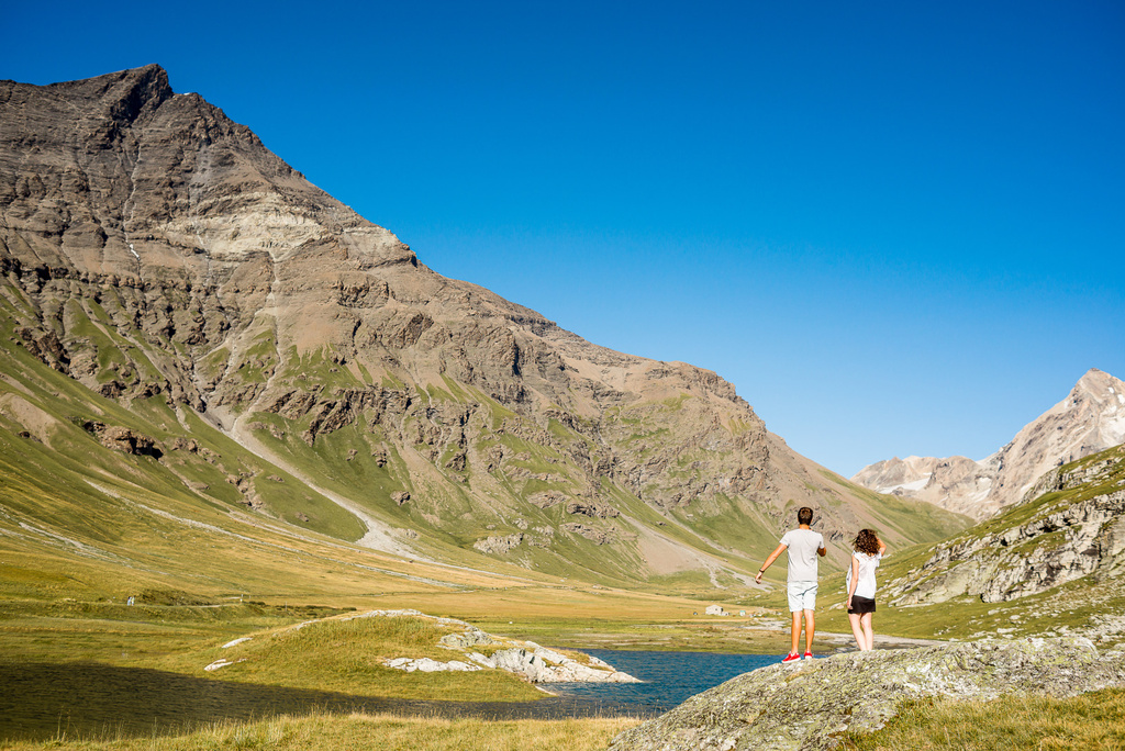
A family walk
An accessible hike for all the family, discover the unspoilt nature at the foot of Grande Sassière. This route is located entirely within the Grande Sassière nature reserve.
To get to the start of the hike, drive towards Val d’Isère and turn off towards Villaret du Nial. Once at the top, a car park awaits you. Don’t forget to check the state of the car park before setting off!
Number of spaces in the car park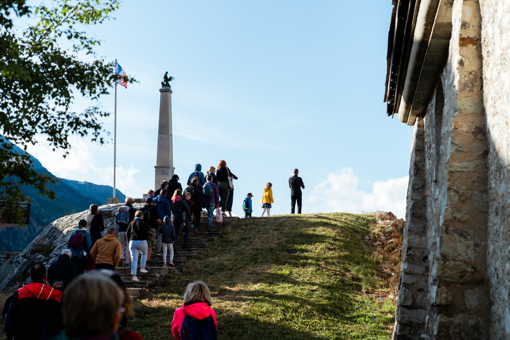
For the curious
Throughout the summer, Tignes organises a number of guided tours to discover the culture and heritage of the village and resort. Take the opportunity to discover Tignes, its surroundings and its history in a different way.
Summer guided tours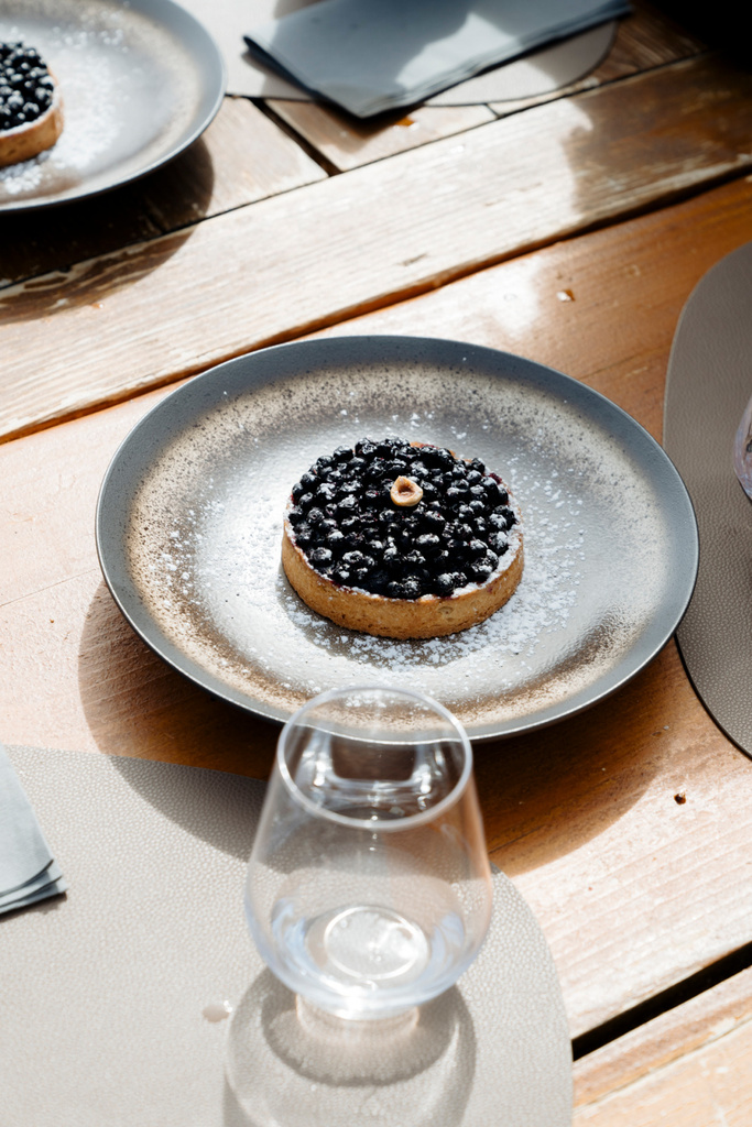
For the gourmets
After the effort (of the hike), the comfort!
More original than a simple detour to the bakery, savor a blueberry pie or other sweet treat at a refuge (and take the opportunity to talk about food with the guards).
For the adventurers in the making
What if you spent the night in the mountains?
The refuges* are not reserved for mountaineers and hikers (even if the experience is more exciting!). Book your night, and discover the friendly and timeless atmosphere of the refuges of Palet (1h30 by the GR5), Leisse (3h by the GR55) or Martin (2h from les Brévières). Their guardians are a mine of information and anecdotes!
The refuges of the Vanoise National ParkOur selection of remarkable viewpoints
To be discovered from the orientation tables of Tovière, from the arrival of the cable car of Grande Motte, or from the Aiguille Percée for the good walkers.
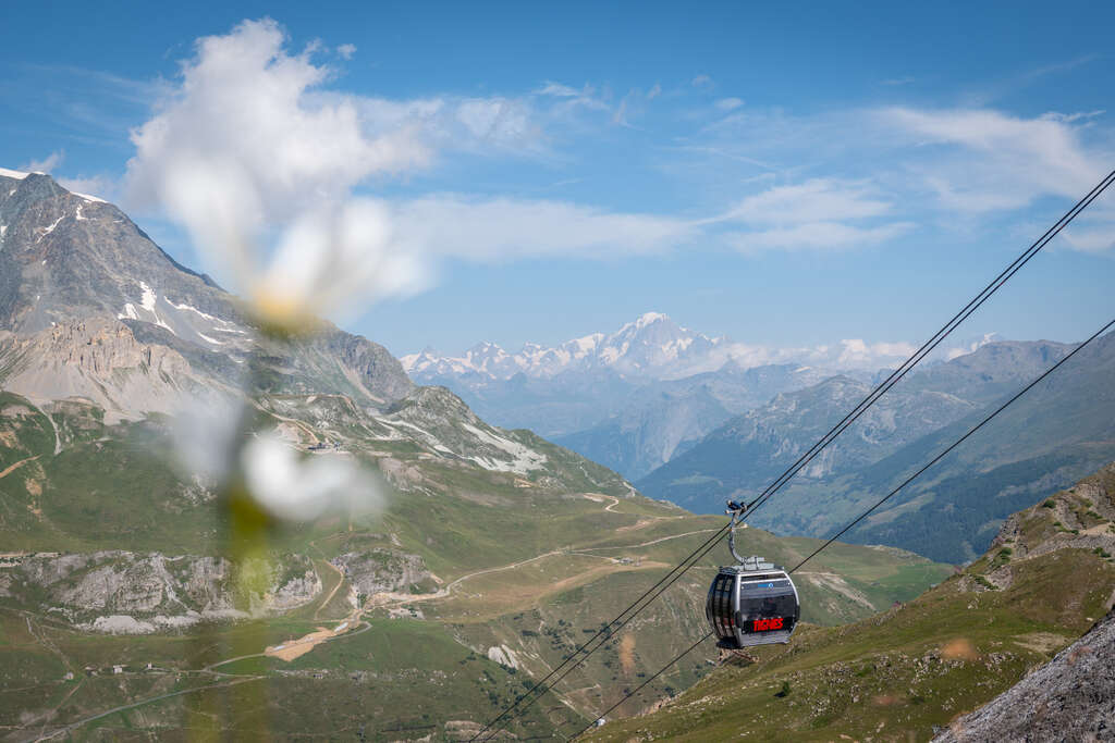
Grande Motte (3 656m)
Jewel of the winter ski area and privileged training ground for high level skiers every autumn, to discover from the cable car roof terrace in summer!
Grande Casse (3 855m)
The highest summit of the Vanoise massif, first climbed in 1860.
Grande Sassière (3 747m)
On the border between France and Italy, accessible in summer to experienced hikers without mountaineering equipment.
Mont-Blanc (4 809m)
Highest point of the Alps, highest summit in Western Europe: a myth for mountaineers!